Mt Stanford, Eastern Sierra, from Onion Valley via University Pass
If you would like the original, high-resolution pictures, contact me
Notes of this trip | Back to California hikes | Pictures of the world
Highlights

|

|

|

|
From start to end
(Click on the pictures to enlarge them | If you have a high-speed connection, click here for larger pictures)  The official trail is not much of a trail |
 View of Onion Valley from the trail |
 The trail as it dead-ends at Lake Robinson |
 At Lake Robinson |
 At Lake Robinson |
 Lake Robinson |
 Lake Robinson |
 Towards University Pass |
 Towards University Pass |
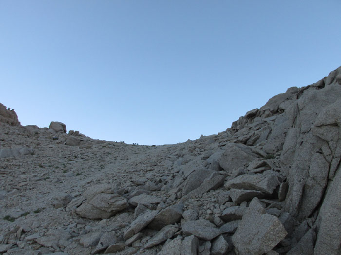
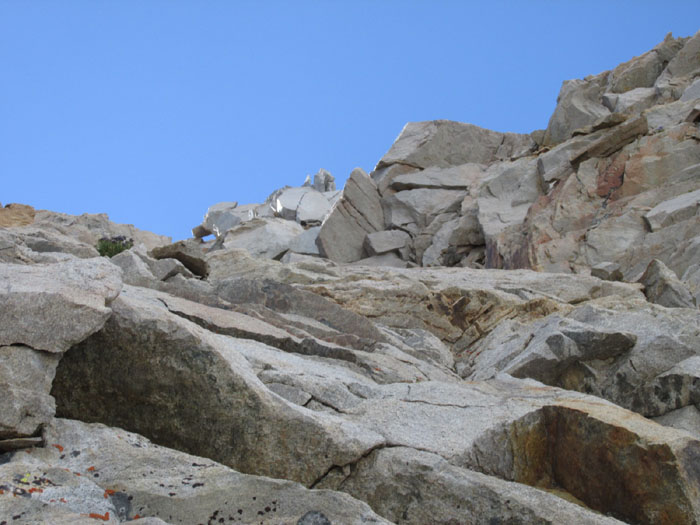
 Up University Pass |
 Up University Pass |
 Up University Pass |
 Up University Pass |
 Up University Pass |
 Up University Pass |
 Up University Pass |
 Panoramic from University Pass (Mt Keith to Mt Stanford) |
 The John Muir trail comes up from down there |
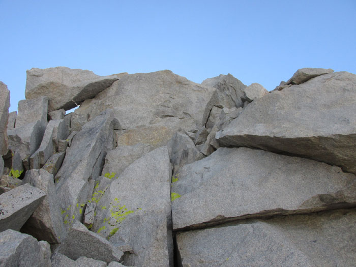
 Down University Pass |
 Down University Pass |
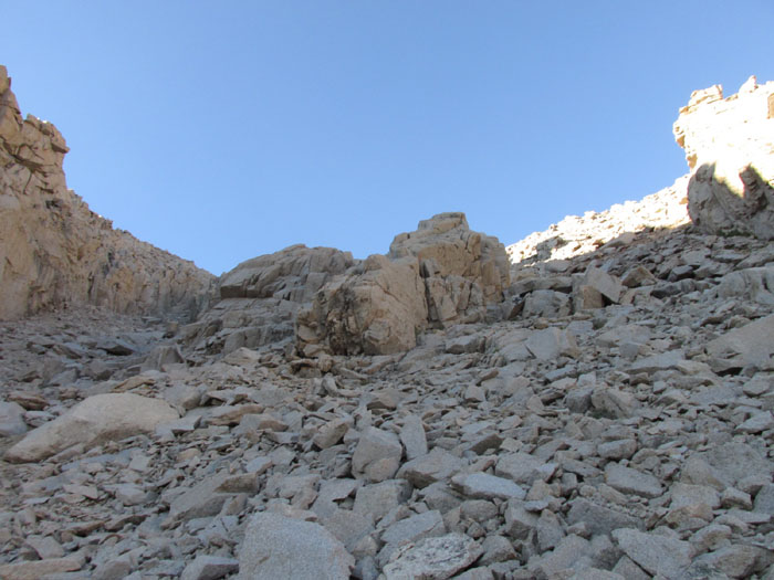 Down University Pass |
 Down University Pass |
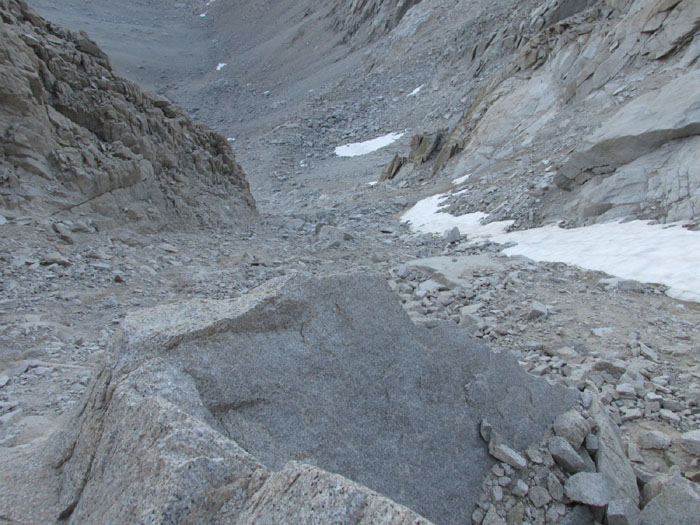
 The beginning of the chute from Center Basin |
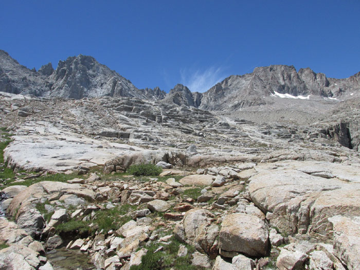
 At the lake in Center Basin |
 At the lake in Center Basin |
 At the lake in Center Basin |
 The location of University Pass |
 The location of University Pass |
 Panoramic from Center Basin looking east |
 The JMT comes up from that valley |
 Contouring Center Peak |
 Mt Stanford in the distance |
 Mt Stanford in the distance |
 Wildflowers |
 Wildflowers |
 The John Muir Trail (JMT) |
 Marmot |
 Mt Stanford from the John Muir trail |
 Mt Stanford at the point where you leave the trail (the route goes above the cliff) |
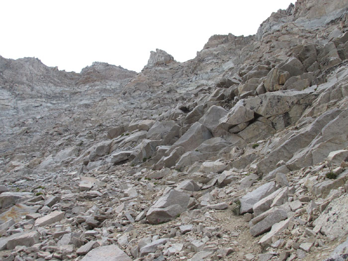
 Leaving the trail |
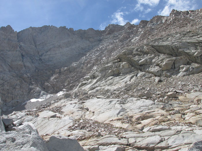
 The way to the southeast chute |
 Towards the southeastern chute |
 Towards the southeastern chute |
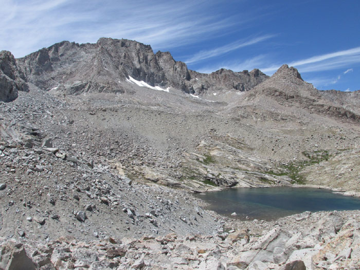
 The last lake |
 The last lake |
| The lake from above |
 Looking back at the lake |
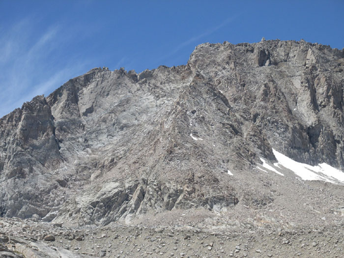
 The east face of Mt Stanford |
 Two ways to enter it |
 The right side is a bit easier |
 But eventually you have to move to the left |
 Up |
 Gregory's Monument |
 The summit block |
 Almost at the top |
 The route from Gregory's Monument |
 The summit |
Fog from the lakes: the birthplace of the Kern River |
 The summit register |
 The north side: the birthplace of the Kings River (from East Lake) |
 View north to University Pass and Center Peak (Bubbs Creek drainage, another source of the Kings River) |
 View south with Williamson and Whitney |
 The way we came |
 Mt Whitney |
 Milestone Peak |
 Mt Williamson in the distance |
 Whitney and going south |
 Kaweah/ Great Western Divide 1 |
 Kaweah/ Great Western Divide 2 |
 Kaweah/ Great Western Divide 3 |
 Harrison Pass |
 The lakes to the northeast (route from East Lake) |
 The "rocket" |
 The lake we passed |
 The route viewed from Forester Pass |
 The way to Mt Stanford (all the way to the right) |
Video from Mt Stanford
Back to California hikes
If you would like the original, high-resolution pictures, contact me